Kaito Kinjo
Software Engineer based in Japan
Specializing in platform engineering, front-end architecture, and geospatial web applications.
AboutProjects
Spatial Understanding and Decision-Making
View all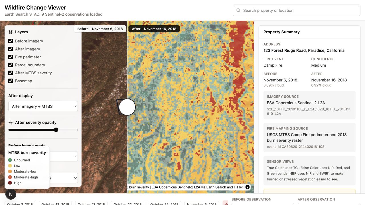 Reading Wildfire History Through Satellite ObservationsA small side project for comparing satellite observations before and after a wildfire.Prototype · 2026
 Making Map Data Pipelines Explicit and ReproducibleA small CLI experiment for describing how GeoParquet datasets become reusable vector tiles.Prototype · 2026
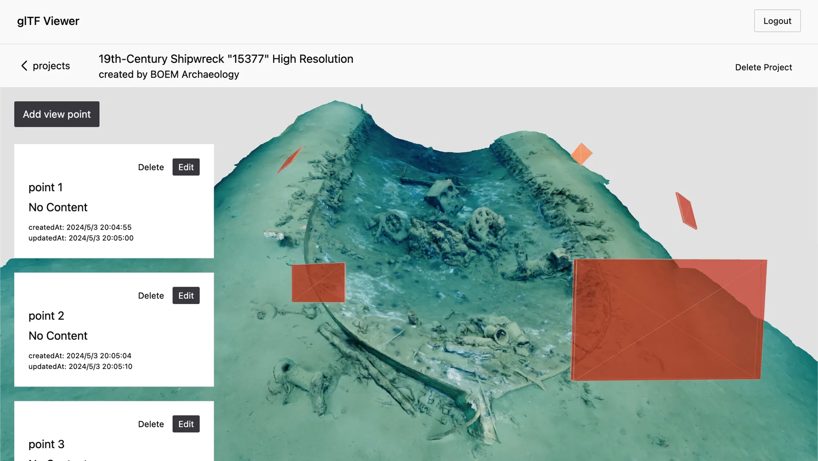 Viewpoints as Notes in a 3D ModelA side project about saving camera positions as notes inside a photogrammetric model.Prototype · 2024
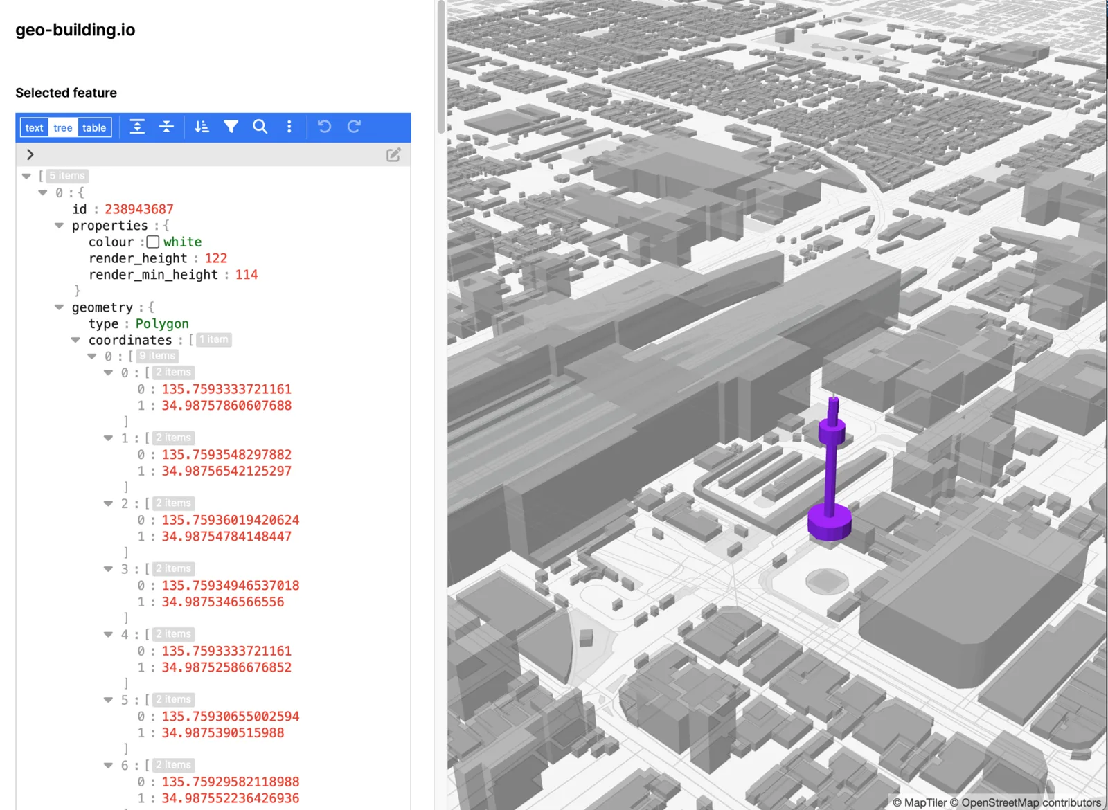 Editing the Data Behind a 3D CityAn early experiment in editing OSM-based 3D buildings directly within the geographic context of a map.Prototype · 2023
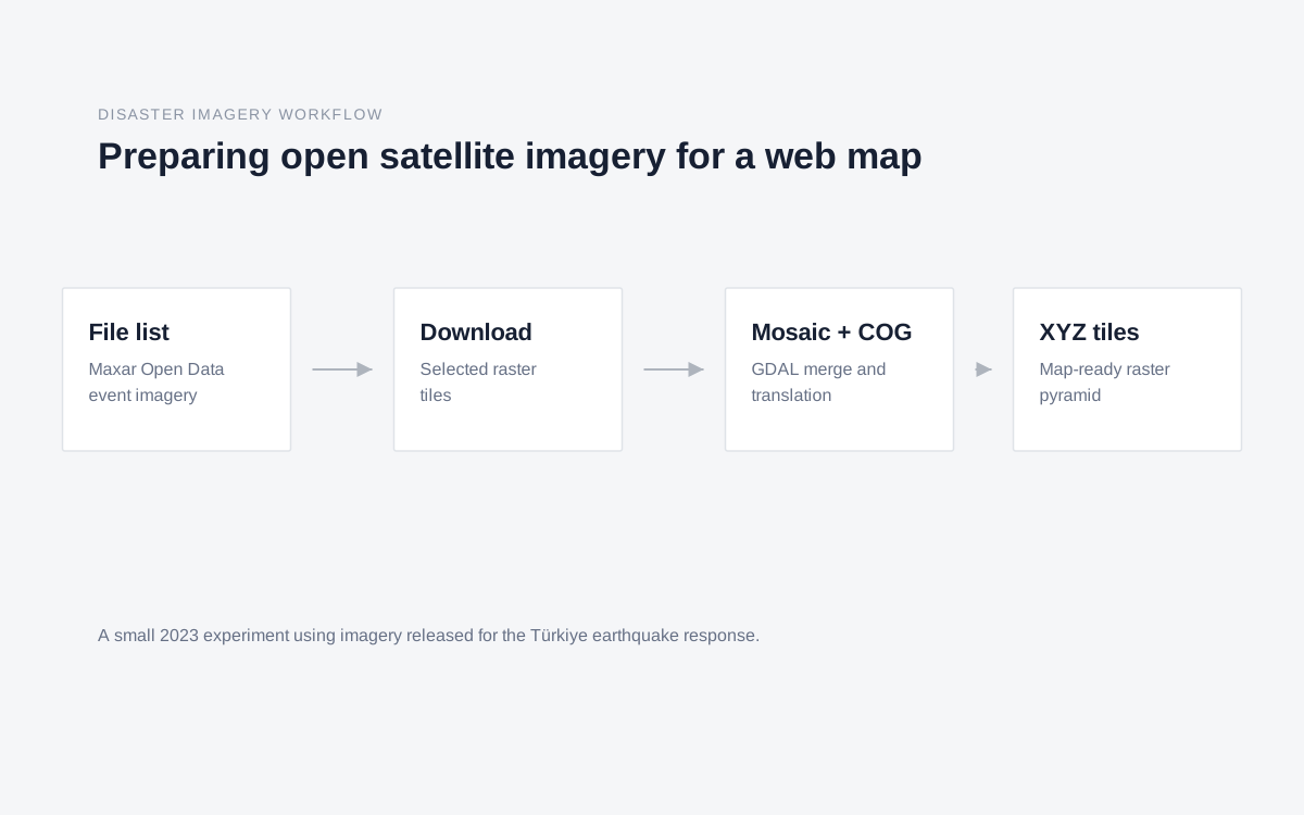 Preparing Open Satellite Imagery for Disaster MappingA small workflow for turning earthquake-response satellite imagery into map-ready raster tiles.Experiment · 2023