Projects
I enjoy learning how people use data to understand places on Earth and make decisions about them. I build small tools and prototypes to explore these ideas, mainly around geospatial interfaces, Earth observation, AI, and human decision-making. These projects document what I tried and what I noticed along the way.
A question I keep returning to
Spatial Understanding and Decision-Making
How can spatial data representations support human understanding and spatial decision-making?
Maps, satellite imagery, sensors, and models let us learn about distant places and changes outside our direct view. I'm interested in how these representations shape what people notice, understand, and decide.
Project archive
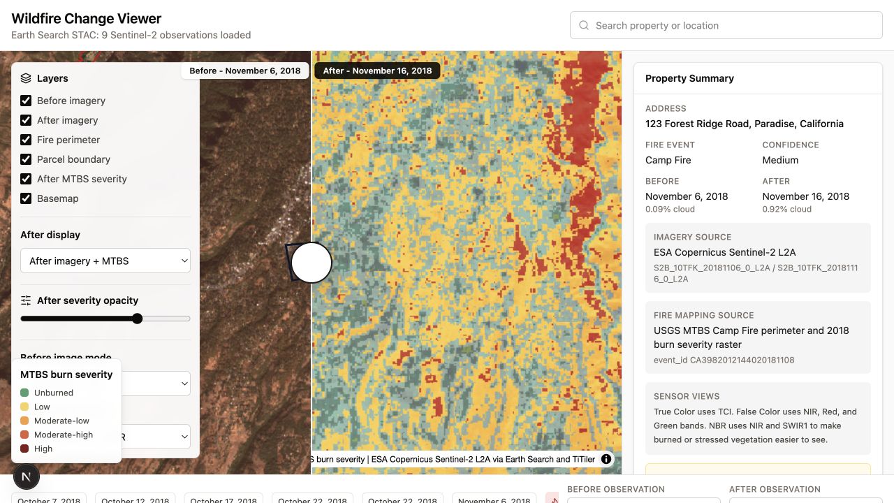 Reading Wildfire History Through Satellite ObservationsA small side project for comparing satellite observations before and after a wildfire.Prototype · 2026
 Making Map Data Pipelines Explicit and ReproducibleA small CLI experiment for describing how GeoParquet datasets become reusable vector tiles.Prototype · 2026
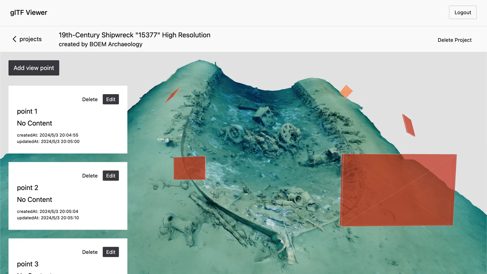 Viewpoints as Notes in a 3D ModelA side project about saving camera positions as notes inside a photogrammetric model.Prototype · 2024
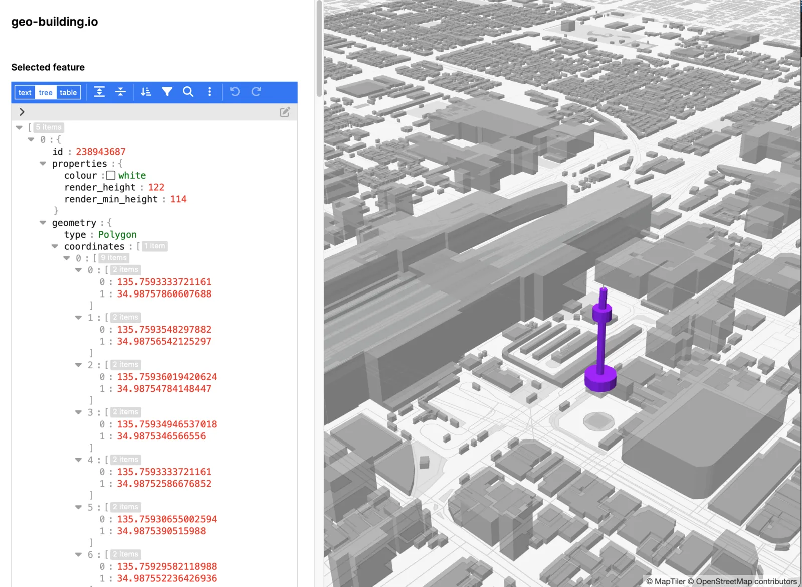 Editing the Data Behind a 3D CityAn early experiment in editing OSM-based 3D buildings directly within the geographic context of a map.Prototype · 2023
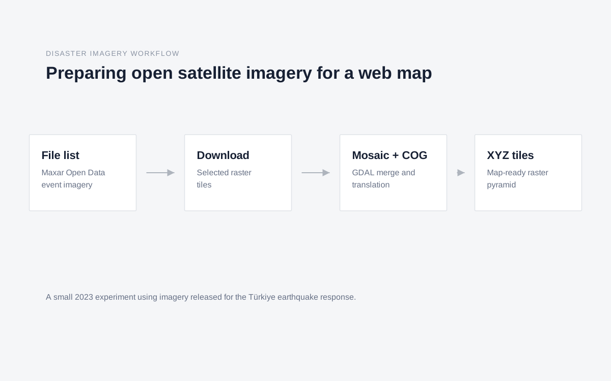 Preparing Open Satellite Imagery for Disaster MappingA small workflow for turning earthquake-response satellite imagery into map-ready raster tiles.Experiment · 2023